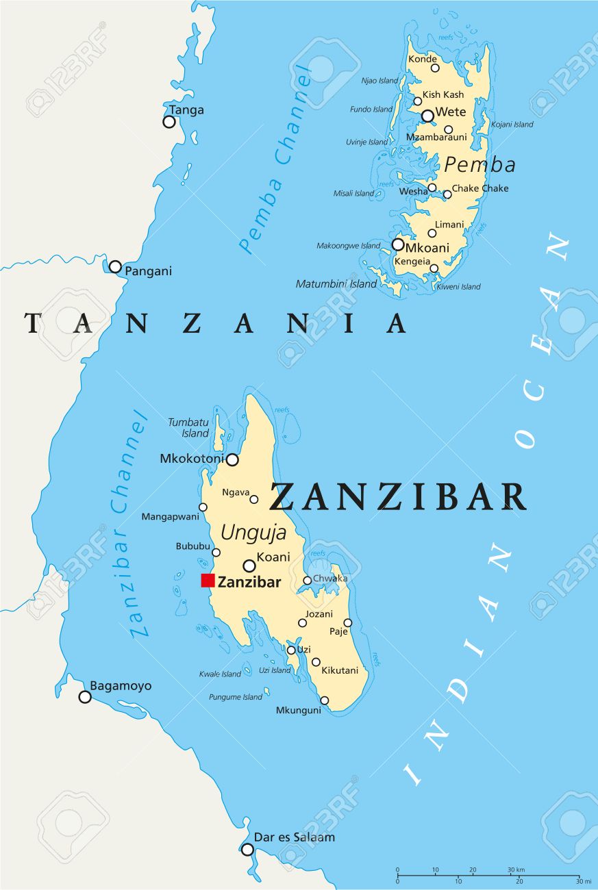
Zanzibar is one of the Indian Ocean islands. The northern tip of Zanzibar Island is located at 5.72 degrees south, 39.30 degrees east; with the southernmost point at 6.48 degrees south, 39.51 degrees east. It is 53 miles (85 km) at its greatest length and 24 miles (39 km) broad, with an area of 985 km2. The island is separated from the Tanzanian mainland by a channel. The climate is typically insular, tropical, and humid, with an average annual rainfall of 60 to 80 inches (1,500 to 2,000 mm). Northeast trade winds blow from December to March and southeast trade winds from May to October. From April to November the wind blows from south - southeast parallel to the east coast while from November / December to March it swings from south - southeast to north - northeast always blowing parallel to the east coast.
Location Map of Zanzibar
|
|